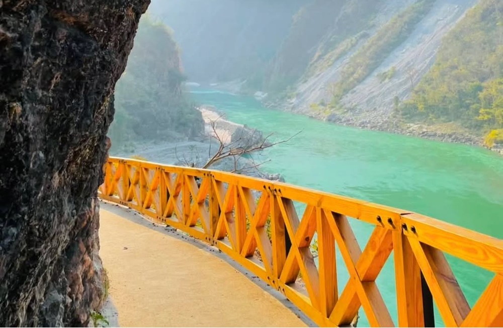
Mini Gartang Gali Rishikesh is another name used by travellers searching for the scenic Kotli Bhel Trek near Rishikesh. This guide covers the route options, landscape, seasonal considerations and practical safety advice.
Uttarakhand · Trek & Nature Guide
Mini Gartang Gali Rishikesh: Discover the Kotli Bhel Trek
Explore the dramatic Ganga Valley, forested slopes and historic pilgrimage-path scenery on the Kotli Bhel route near Rishikesh. Use this guide to compare route options and prepare for a responsible trek.
Mini Gartang Gali Rishikesh is a search phrase used for the Kotli Bhel Trek, known for a dramatic path along a steep rock face. The route is in the Pauri Garhwal region of Uttarakhand and is associated with the Badrinath pilgrimage corridor, forested hills and views of the Ganga.
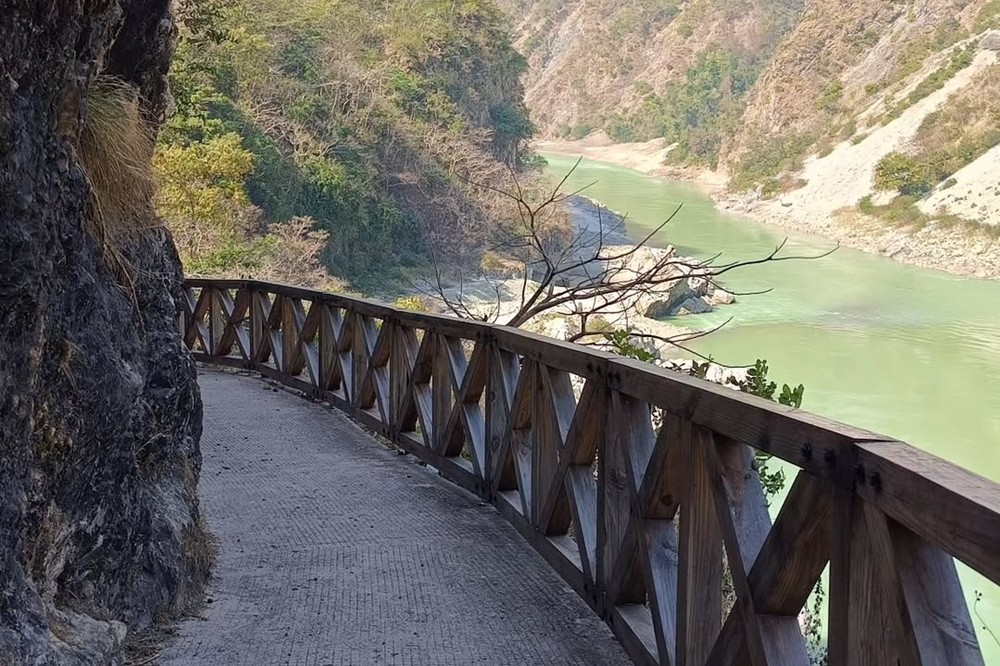
Mini Gartang Gali Rishikesh: What Is the Kotli Bhel Trek?
Kotli Bhel is a lesser-known trekking area in the Ganga Valley near Kaudiyala and Mahadev Chatti. The trail is known for steep terrain, forest views, the flowing Ganga and a waterfall described along the route. The “Mini Gartang Gali” nickname is a local comparison; Kotli Bhel is a different location from the famous Gartang Gali wooden bridge in Uttarkashi.
History and Location
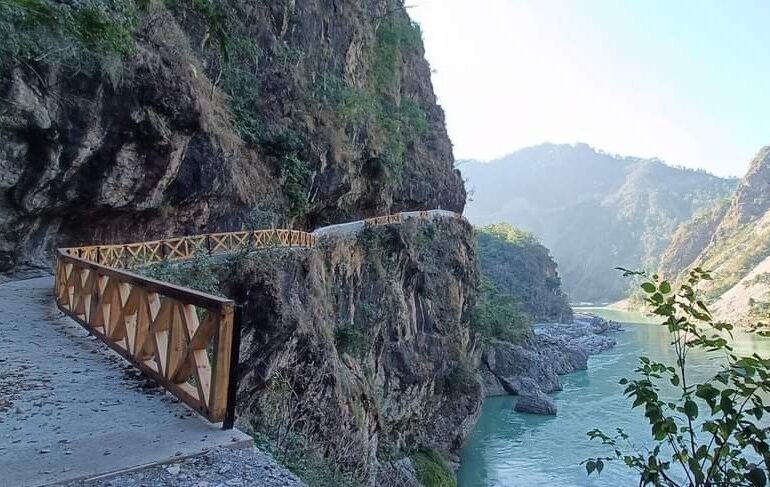
The source article describes a path cut into the hillside during the British period and says pedestrian travel continued until 1998. It also links the route to the older Badrinath pilgrimage footpath. These historical details are best treated as local accounts unless independently confirmed by a reliable historical source.
The route is described around Tota Ghati (Mahadev Chatti Ridge), the Mahadev Chatti bridge, Rampati and Simalu. Exact access points can be confusing, so confirm your intended start and finish with someone familiar with current local conditions before beginning.
Kotli Bhel Trek Route Options
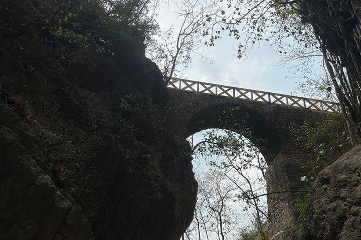
The supplied article describes multiple approaches with different lengths. Distances below are retained as estimates from that source and may refer to different trail sections, not a single consistent route.
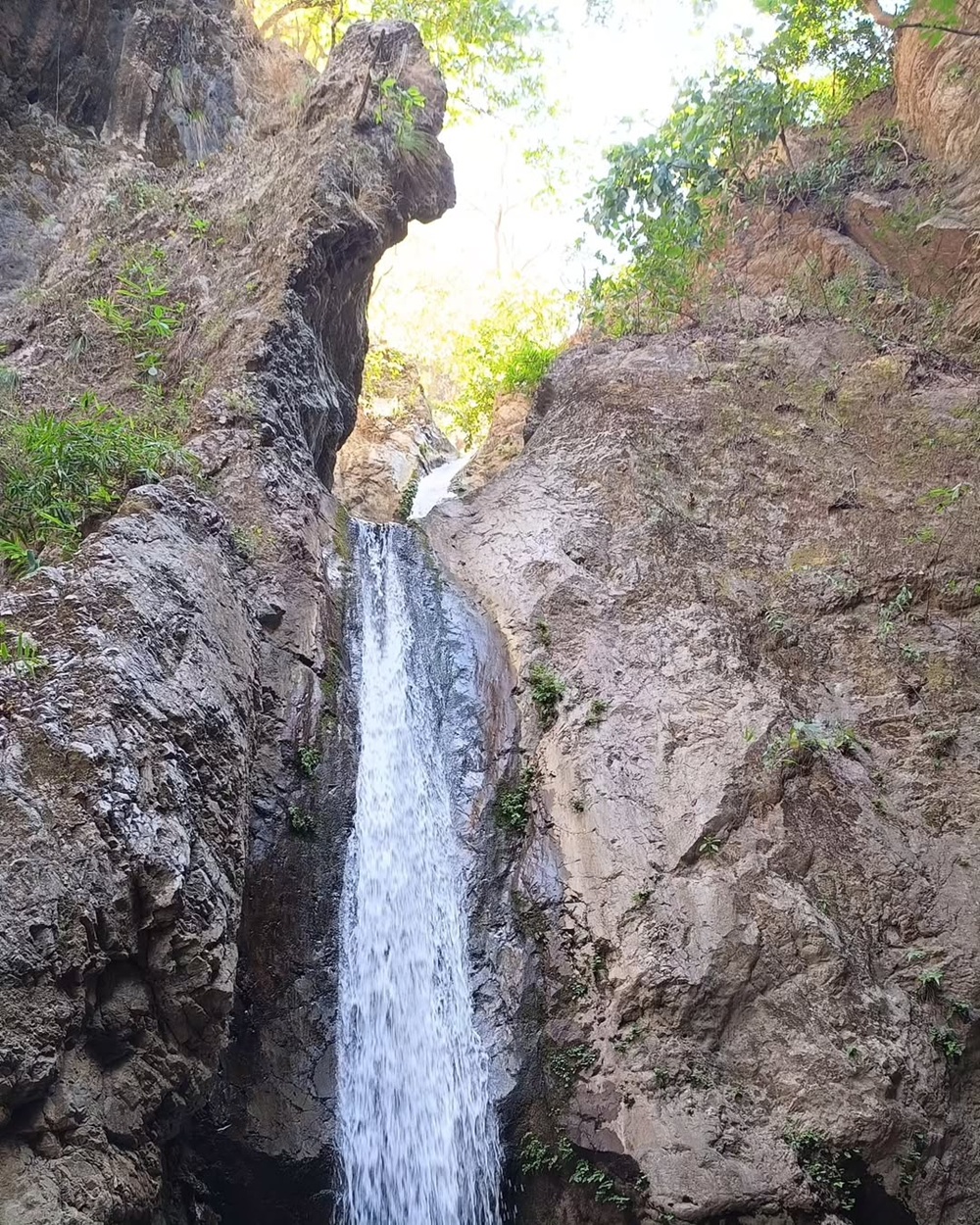
Some routes described in the source include a drive to Tota Ghati, a walk to Simalu, and a return drive via Devprayag. Another option is a shorter out-and-back walk to Kotli Bhel. Do not combine the distances: confirm whether the distance you are quoted is one-way, round-trip or for a longer connecting trail.
How to Reach Kotli Bhel from Rishikesh
The source places the route around 35–40 km from Rishikesh depending on the access point and says the road journey may take roughly an hour. Actual driving time varies with traffic, roadworks and the exact trailhead.
- Travel from Rishikesh toward the Badrinath Highway and confirm the current turn-off for Mahadev Chatti/Tota Ghati.
- Before leaving the vehicle, verify the trailhead, the condition of any bridge and the intended route.
- Carry sufficient water, suitable footwear and a charged phone; do not rely on mobile coverage in every section.
- If arranging a pickup from Simalu or another endpoint, agree on the meeting point and return plan before starting.

Best Time to Visit Kotli Bhel
The supplied article recommends October to May and says the route is closed during the monsoon. Treat this as a seasonal guideline from the source rather than a current official closure notice. Heavy rain can make steep paths, streams and bridges dangerous. Confirm local conditions and access before travelling, especially after rainfall.

Kotli Bhel Trek Safety Checklist
- Confirm that the route is currently accessible and that no restrictions are in force.
- Avoid the trek during heavy rain, thunderstorms or when water levels are high.
- Wear grippy trekking shoes and carry drinking water, snacks and a basic first-aid kit.
- Do not approach unstable cliff edges or attempt unsafe bridge crossings.
- Tell someone your route and expected return time; consider a local guide if unfamiliar with the trail.
- Carry your rubbish back with you and avoid disturbing wildlife or vegetation.
Nearby Reading
Explore more about the region with our guides to Chilla Range, Rishikesh tourism and Gartang Gali in Uttarkashi. For accommodation ideas, visit Om Homestay in Tapovan.
For broader destination context, consult Uttarakhand Tourism.
Plan Your Kotli Bhel Adventure Carefully
Confirm the trailhead, route distance, access and weather locally before leaving Rishikesh. Choose a route that matches your fitness and experience, and never assume the trail is open year-round.
Editorial note: Route distances and historical details in this guide are based on the supplied source text. Multiple distances are listed because the source describes different approaches. Verify all route and access details locally before publishing or travelling.

Comments are closed.